
REGIONAL FLORA EXTINCTION REPORT
〰️
REGIONAL FLORA EXTINCTION REPORT 〰️

Barrington to Hawkesbury Climate Corridors Plant Communities and Threatened Flora:
Connecting regional climate change refugia for native species’ persistence in a warming world'
"The present protected area network was not designed to accommodate climate change, and the biodiversity values it currently protects may not all survive under different climatic conditions"
86% of Threatened plant species are likely to suffer significant contractions and 51% will have no suitable habitat within the next 50 years under a worst case climate scenario.

〰️
REGIONAL FAUNA EXTICTION REPORT
〰️ REGIONAL FAUNA EXTICTION REPORT

BARRINGTON TO HAWKESBURY
CLIMATE CORRIDORS:
Connecting regional climate change refugia for native species’ persistence in a warming world
December 3 2022

SIGN UP FOR UPDATES & TO GET INVOLVED
〰️
SIGN UP FOR UPDATES & TO GET INVOLVED 〰️


“If we wish to minimise native species’ extinction, climate refugia and identified Climate Corridors must be legally protected.”
"An alliance of local and national environment groups have called for a moratorium on land clearing across 810,000 hectares between Barrington Tops and Hawkesbury River.
The Barrington to Hawkesbury Climate Corridors Alliance report, released today, combines habitat suitability modelling and NSW government climate corridor mapping to identify 22 wildlife corridors essential for the survival of threatened species in face of climate change.”
Newcastle Herald, Matthew Kelly, December 4 2022

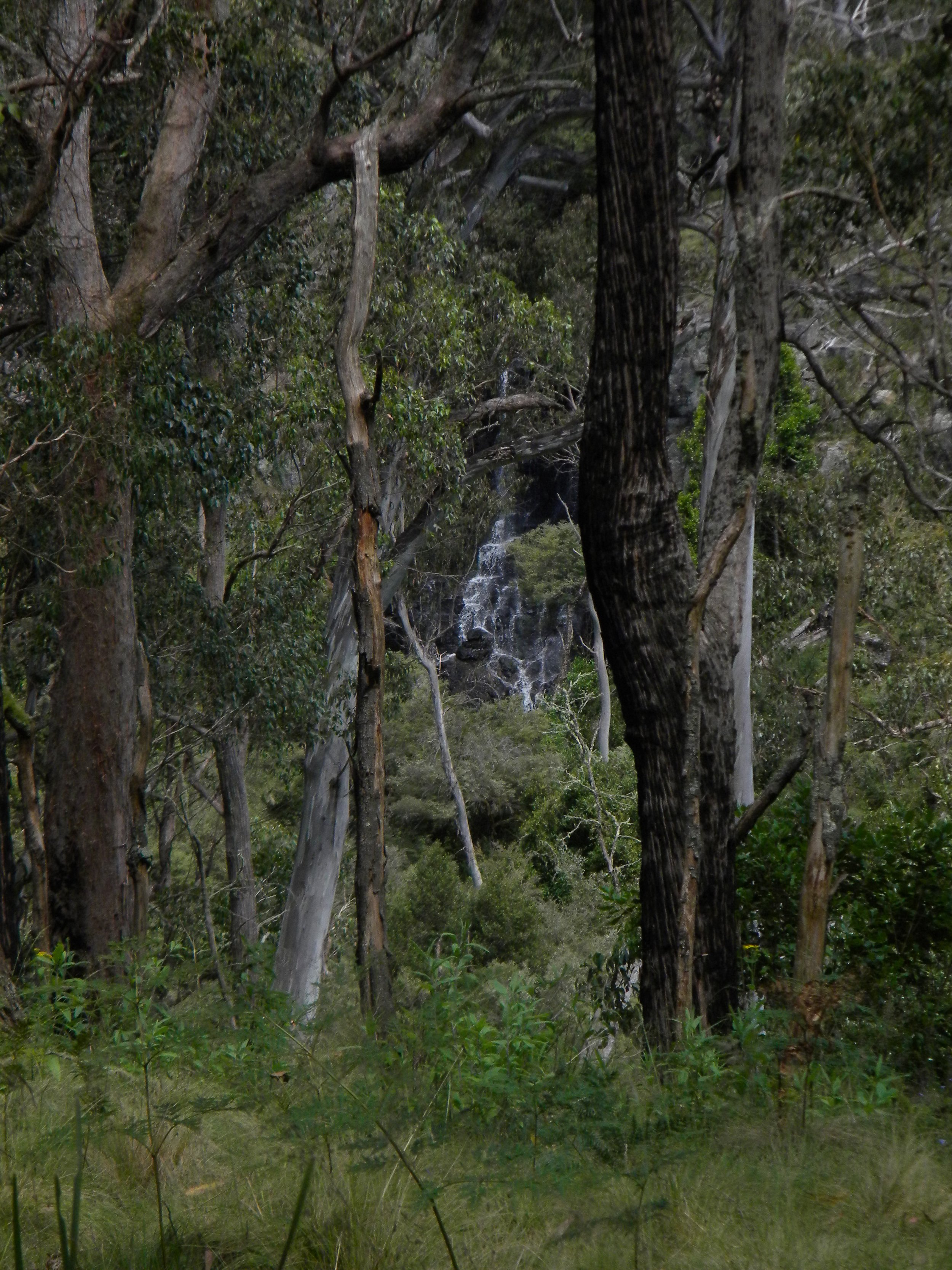
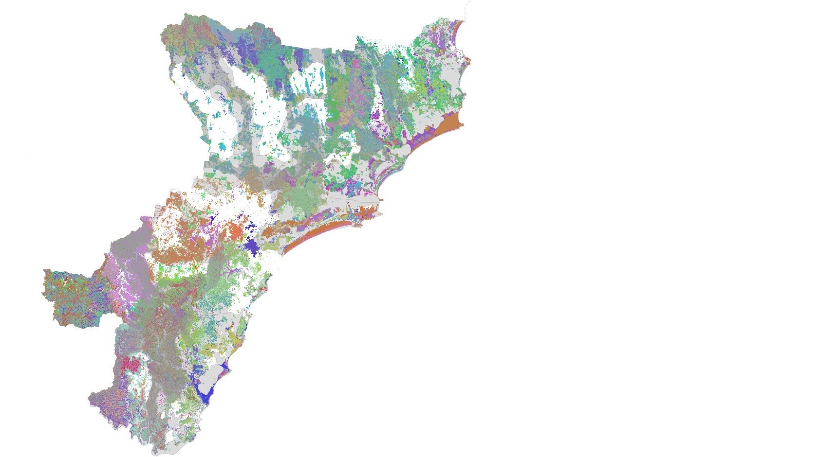
The Barrington to Hawkesbury region encompasses 1.13 million ha (11,260 km2) between Barrington Tops in the north and Hawkesbury River in the south taking in the LGAs of Central Coast, Lake Macquarie, Cessnock, Maitland, Newcastle, Port Stephens, Dungog, and the former Great Lake Council area of Mid Coast LGA.
The area straddles the southern-most end of the North Coast Bioregion -Parts Mummel Escarpment, Barrington, Upper Hunter, Karuah Manning sub bioregions), and the northern-most end of the Sydney Basin bioregion -Wyong, and Part Pittwater, Yengo, Hunter sub bioregions.
BARRINGTON - HAWKESBURY CLIMATE CORRIDORS
〰️
BARRINGTON - HAWKESBURY CLIMATE CORRIDORS 〰️

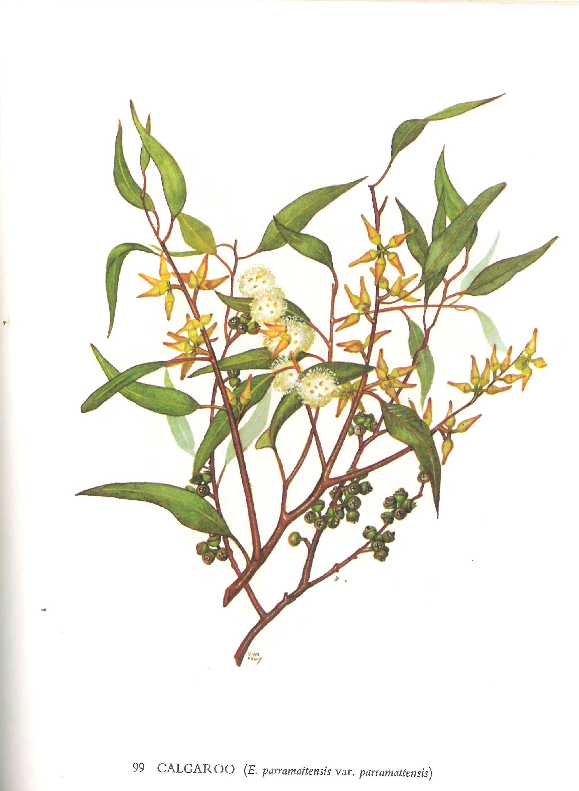
The region is home to nine NSW Endangered Populations, 106 Threatened terrestrial fauna species and 116 Threatened terrestrial flora species.
Clearing of native vegetation and its destruction of habitat has been identified as the single greatest threat to biodiversity in NSW.[1]
The natural environment of the region is under intense pressure from agriculture, forestry, and urban development. The last ten years have seen over 7,000 ha of the region’s native bushland earmarked for “greenfield” urban development. From 2008 to 2017, about 6,500 ha of bushland was lost in the region, almost a third due to logging in southern Mid-coast LGA.
The Barrington to Hawkesbury region is of international conservation significance encompassing the Myall Lakes and Hunter Estuary, listed under the Ramsar Convention on Wetlands, and connects the Greater Blue Mountains World Heritage Area in the south to the Barrington Tops World Heritage Area in the north
Resources
The Intergovernmental Panel on Climate Change
How are climate change and biodiversity loss linked?, Natural History Museum
Anthropogenic Climate Change - key threatening process listing Threatened Species Conservation Act., NSW Scientific Committee (2000)
Native Forest Plan of Operations Map, Forestry NSW
BioNet Atlas, NSW Government
Compiled resources from alliance members on conservation values and history in the B-H region.
Quick links

Early in 2022, representatives of the five founding organisations of the alliance (Community Environment Network, EcoNetwork Port Stephens, Hunter Bird Observers Club and National Parks Association NSW – Hunter branch) came together in response to growing unrest over land clearing impacts being incurred by beloved bushland and threatened flora and fauna populations in the region, already exposed to the pressures of a rapidly warming climate.
At the launch in December 2022, the alliance presented a conservation and climate adaptation vision for threatened populations subject to rampant habitat destruction for forestry, agriculture and urban development and intensifying climate change impacts.
The report from lead author Paul Winn, HCEC Senior Researcher has built on future habitat suitability modelling completed by the BioNode of the NSW Adaptation Hub at Macquarie University and Fauna Corridors mapping from the Department of Environment and Climate Change 2007 to assess the available habitat of 48 local threatened populations under 4 future climate warming scenarios, and presents 22 climate corridors which span the region, vital to species persistence in a warming world.
